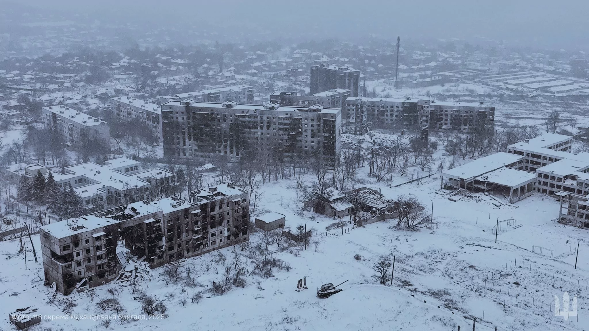
UKRAINE, KHARKIV OBLAST, Mar. 12 — Geolocated footage published on Mar. 10 shows Ukrainian advances north of Kivsharivka, a settlement located south of Kupiansk, reported the Institute for the Study of War (ISW).
Kivsharivka is a village located 10 kilometers (6.2 miles) from Kupiansk. On Feb. 11, the map made by DeepState, an OSINT war-monitoring group, showed the Russian advances toward the settlement.
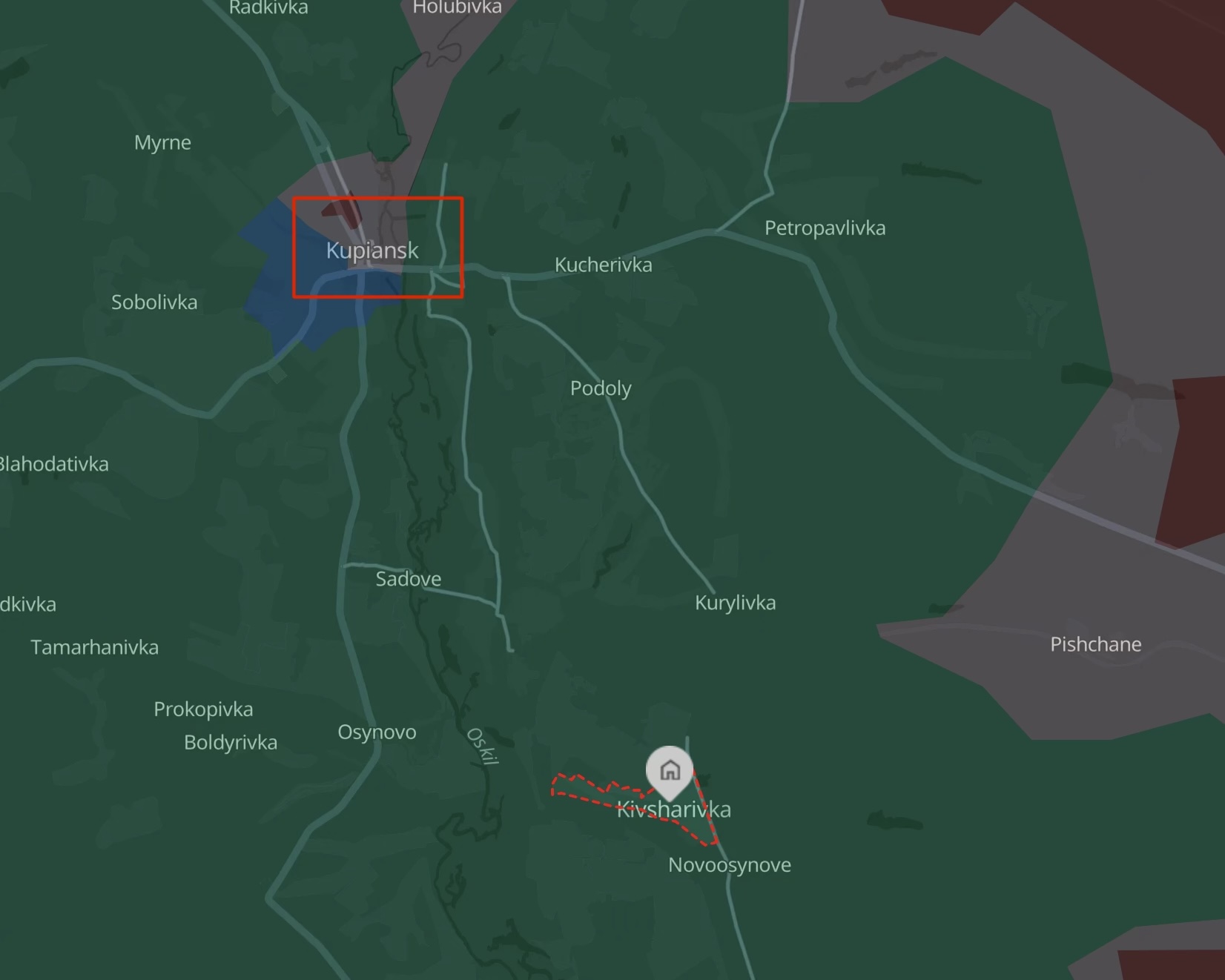
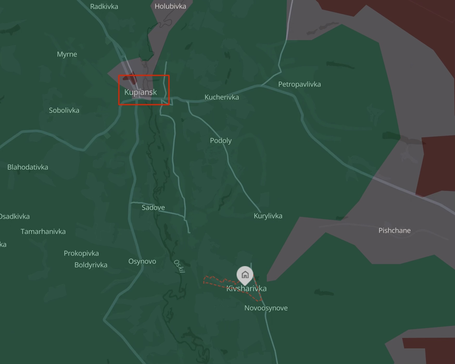
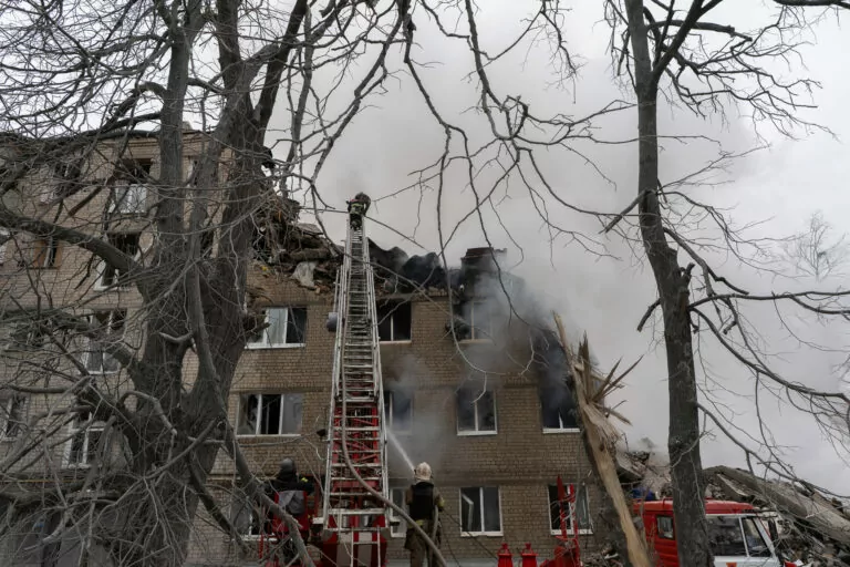
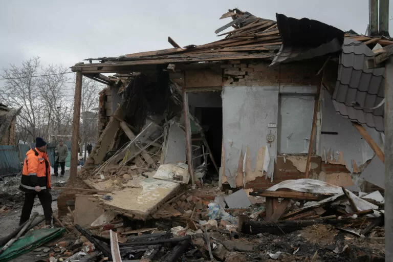
According to the ISW, during Mar. 10-11, Russian forces attacked toward Kupiansk itself and east of Kupiansk, near Petropavlivka and Kucherivka villages.
Also, the General Staff of the Armed Forces of Ukraine reported about Russian attacks near Novoplatonivka and Podoly villages east of Kupiansk.
On Feb. 12, Viktor Trehubov, a spokesperson for a military group responsible for the Kharkiv oblast, said that Ukraine has control over the whole Kupiansk, and small Russian groups hiding in the high-rise buildings are surrounded.
Read more
- Russian army occupies border villages in Sumy, Kharkiv regions to form “buffer zone”, Ukrainian military says
⚡ The fifth year of the Russian full-scale invasion started, so it’s been four years since most of us here at our Kharkiv-based newsroom became war reporters. Please consider supporting our journalism via a one-time donation — or join our community.

Subscribe to news from Kharkiv, Ukraine
Most important stories from the frontline region